
Walk a Tampa Street Record
A sound street-by-street search begins with the standardized property address. The Hillsborough County Property Appraiser Property Search converts that text into a folio, parcel identity, legal description, owner, mailing address, municipality, sales references, and building facts. Keep the situs address, which means the physical location, separate from the mailing address used for tax notices. They may match, but neither proves who sleeps at the property.
Move through the records in a fixed order. Each step supplies the search term needed by the next source.
- Search the exact street number and name in HCPA, then save the folio, legal description, owner, deed reference, and municipality.
- Open the parcel in the HCPA GIS viewer. Click nearby lots to build the ownership pattern along the block.
- Use the acquisition deed reference in the Clerk index. Read the seller, then search that seller as a prior buyer.
- Check Tampa Accela for permits or code cases inside city limits. Use county files for unincorporated postal Tampa.
- For occupancy clues, use lawfully obtained voter data and reverse directories. Treat each as dated evidence, not a present roster.
This chain is the practical core of a Tampa street directory. It preserves the difference between ownership, occupancy, and public activity tied to an address.
Search Tampa Streets in HCPA
HCPA offers more than one address box. Owner-name search helps when spelling fails. Folio and parcel-number routes are best after the first match. Map tools identify nearby lots and sales. Advanced Search can combine an owner or parcel term with an address, ZIP, subdivision, neighborhood, or market area, then narrow results by property facts. Exports are capped at 1,000 records. Sales results cover the prior ten years and may post three to four weeks after closing.
| Search route | Input | Street use |
|---|---|---|
| Address | Number and name | Find the situs parcel |
| Owner Name | Surname, trust, entity | Find related parcels |
| Folio | County account ID | Return to one parcel |
| Parcel Number | Cadastral ID | Match GIS and downloads |
| Map Sales/Identify | Map selection | Inspect nearby lots |
The parcel card can show values, exemptions, sale references, subdivision, building traits, and owner mailing address. Homestead plus matching mailing and situs supports owner occupancy, but still does not name every resident.
Save the folio before moving into maps, deeds, or permits. HCPA downloads also provide historic parcels, roads, subdivisions, sales, and building footprints. That official bulk route works well for a long Tampa street because county identifiers survive spelling and map-label changes.
Map Tampa Streets by Parcel
The HCPA GIS Web Map turns one result into a block view. Zoom until parcel polygons appear, select the subject, and follow “Appraiser's Info” back to its record. Then click touching and across-street parcels. Base Maps, Layers, Sales, Identify, Tools, and Print support the comparison. Flood, zoning, and district layers describe geography, not people.
The official Tampa parcel viewer displays adjacent lots.
Parcel shapes expose the block pattern, but the map is neither a survey nor a title search.
Condos and multi-unit sites need care. Common land can have one folio while units have separate ones. Mailing addresses may point to owners elsewhere, not residents on the street.
Tampa Street Records by Address
No one Tampa record answers every street question. The roll supplies identity, GIS supplies adjacency, deeds supply title history, and permits supply public work. Voter data and reverse directories can support occupancy at one date.
| Record | Keeper | Result | Limit |
|---|---|---|---|
| Parcel roll | HCPA | Owner, situs, mailing, folio, sales | Not a household list |
| GIS | HCPA | Lots, boundaries, layers | Not title evidence |
| Deeds | Clerk | Parties, legal parcel, dates | Web index starts 1965 |
| Permits/code | City or county | Work, status, public parties | Exempt files omitted |
| Voter data | Elections | Disclosed registrations | Protected addresses omitted |
| Reverse directories | HCPLC | Past occupant by number | Year gaps |
The HCPA download center supplies parcel, sales, road, subdivision, and historic data.
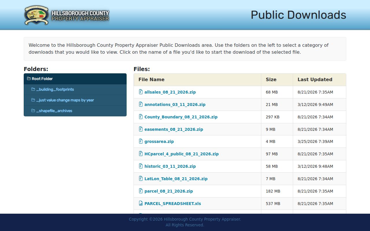
Those files permit whole-street study without copying results from the interactive map.
Tampa Deeds Need Parcel Terms
A street address is not the Clerk's main deed key. Translate it into the legal description and acquisition reference on the parcel card. In the Hillsborough Official Records search, a direct party generally conveys property and a reverse party receives it. Search the current seller as a prior reverse party, confirm the same legal parcel, and repeat. This direct/reverse quirk powers a sound chain of title.
The free online index begins in 1965. The Official Records Library has electronic and microfilmed material back to 1836, while the archived Kofile portal bridges older series. Staff help, public workstations, phone, mail, downloads, and certified-copy requests are separate access routes. Restricted image classes do not appear on the open web.
- Parcel
- A mapped unit of land identified by a county folio or parcel number.
- Situs address
- The physical location, unlike the owner's mailing address.
- Plat
- A recorded map of subdivision lots, blocks, streets, and easements.
- Criss-cross directory
- A directory arranged by street and house number instead of only surname.
Note: A quitclaim or family transfer can change title without proving a market sale or a move.
Tampa Permits Fill Street Gaps
The Tampa Accela search accepts record number, project or name, street number, street name, unit, city, state, ZIP, parcel, and date range. Results can expose record type, address, description, status, dates, inspections, and public applicant or contractor details. This helps when a deed says little about a structure.
The permit and code portal accepts address fields.
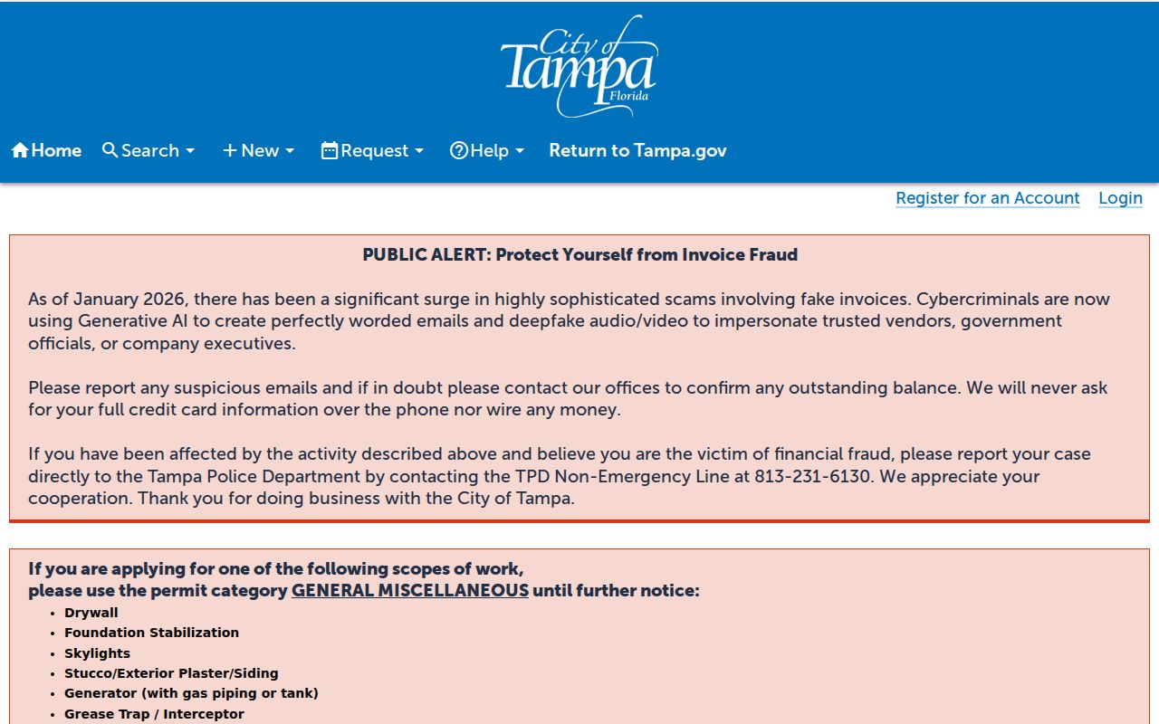
The form links an address to construction history without implying a resident roster.
A blank result is not always no record. Tampa removes some protected-official addresses and security-sensitive records under Florida law. Ask for the exemption basis rather than trying to identify a protected person.
Postal Tampa Changes Custody
Many addresses use Tampa in the mailing line but lie outside incorporated city limits. Check the City address and city-limit lookup before a permit, police, code, or neighborhood request. An unincorporated Hillsborough address may retain Tampa postal wording while its local files belong to county departments.
The official boundary tool resolves the jurisdiction question.
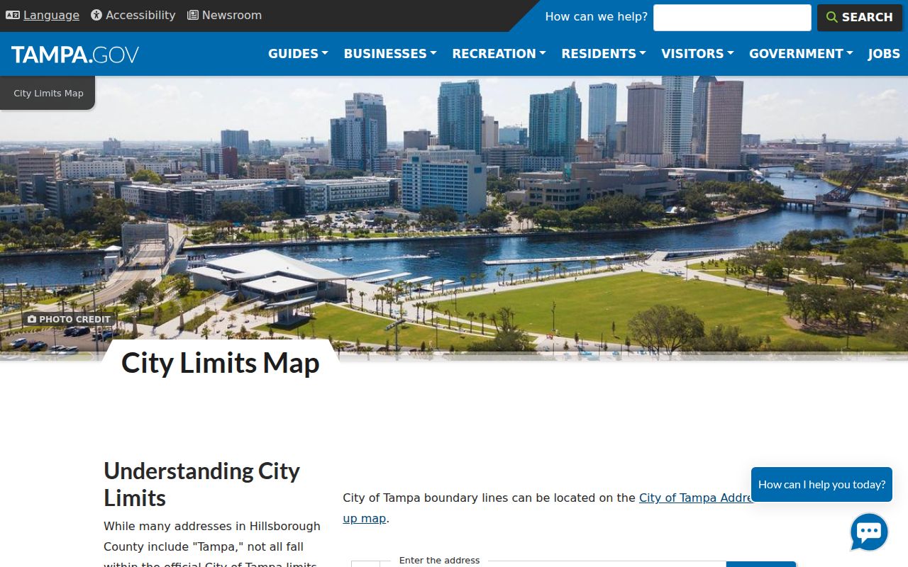
The check explains why nearby properties can use different record systems.
Historic research adds another layer. Tampa expanded and address conventions shifted. No authoritative single citywide renumbering year was found, so do not invent one. Compare an old entry with Sanborn sheets, plats, legal descriptions, and boundary evidence.
Tampa Voter Data by Street
The Hillsborough Voter Information Lookup is an individual verification form, not a public block browser. A street review requires the proper Supervisor of Elections data-request channel. Florida generally makes a voter's name, residence, birth date, party, telephone, and email public. Social Security and driver-license numbers, registration source, and signature copies remain closed. Confidentiality and occupational exemptions may suppress a residence.
Registration never shows a ballot choice. It also omits nonvoters and protected residents. Treat the roll as one dated source, and do not use the self-lookup form as a substitute for a lawful data request.
Read Old Tampa Streets Backward
A reverse directory asks who was listed at a house number in its publication year. HCPLC's Florida History & Genealogy Library holds directory, newspaper, census, map, and archive routes at 900 N. Ashley Drive. Listings can support past occupancy, but gaps, abbreviations, changed streets, and omitted homes demand another source.
When the task becomes a study of publishers and volume runs, use the Tampa city directory collections. For one street, pair a directory year with the deed chain, Sanborn map, permits, census, or newspaper notices.
Limits of Tampa Street Directories
A street directory cannot reveal each occupant. Parcel records list owners, not all renters, guests, or unit residents. GIS shows boundaries. Deeds show title. Permits show public work. Voter data omits nonvoters and protected addresses. Utility customer and DMV address data are not open household lists.
Commercial tools may merge stale or mismatched data. Official rolls are narrower, but they expose the keeper, date, party role, and legal parcel. Use two independent points, such as a name plus address and date, before joining records.
Lawful use. Tampa address records support lawful personal research. Never use them to stalk, harass, threaten, or defeat confidentiality safeguards.
State only what the source proves. “Owner of record” is sound when parcel and deed agree. “Current resident” needs current occupancy evidence and may still omit a household member.
Tampa Street Names Need Variants
Search format can break an otherwise sound address trail. Try the full road name, its abbreviation, and the name without a directional. For Spanish or Italian family names, preserve both surnames, then test each separately. Old directory entries may use initials, a spouse, or an occupation. Modern parcel and permit systems may standardize the road another way.
When an old number does not resolve, do not assume the building vanished. Compare the directory year with a Sanborn index, recorded plat, deed legal description, and City Archives engineering material. Tampa growth and annexations shifted civic context, while postal wording could remain. County holdings back to 1836 and tax rolls from 1883 provide overlapping checks when the web index has no address search.
Note: A historic match is strongest when the number, occupant, legal parcel, and nearby cross street agree across dated sources.